Through everyday conversation, school buddy, Paul Harris, came to realize Ben's leadership qualities and contributions to the Outing Club. Paul brings Ben to meet a fellow student who he perceives as "becoming famous one day." After being introduced, they related to a variety of subjects. Ben was amazed and impressed with his intellect and ability to project. His name...Ralph Nader.


Back at the Library, Ben and Phillip Griggs examined and compared the statistics associated with weather. The data showed a portion of the western Catskills, on an average, receives more snow than any part of New York. To determine its location, they used topographical maps. Recalling his vision from Belleayre, Ben puts it all together and proclaims "This is the mountain to the northwest."

BEARPEN MOUNTAIN


Closer examination of this mountain showed a perfect blend of terrain off its northeastern exposure. Realistically achievable, this ridge could produce an overall vertical drop of 2,120 feet with fall line trails 1,900 vertical feet into the valley.

Near the end of school, June 1953, Ben began to realize Bearpen Mountain may be larger than the Outing Club itself. Convinced this mountain met all the criteria, Ben persuaded his parents to provide the finances necessary to research and later develop the land. Needing help, he called his good friend and Princeton roommate, Bill Greene. Bill became excited with the information Ben shared and agreed to get involved. 


With school out, Ben and Bill made a decision to first enter Bearpen Mountain from the southwest, the Halcott side of the mountain. They drove to the Highmount base lodge where they stayed the night before their first approach. In the early morning hours, they drove into Johnson Hollow. Asking questions about the mountain, they met Bob Johnson and many local people. "It's wild land," some said; while others didn't even know its name. Ben found these people to be very inviting; workers of the land carried down through generations. 

They ascended to the southwest ridge and reached the summit to behold its 360 degree panorama. Laying promise to easier trail cutting, they found its northeastern side to be smooth with virtually no rock ledges.  In the valley below, they reached the car at dusk.


From a base of operations at Reed's Hotel in nearby Roxbury, they traveled back and forth from Delhi to Catskill researching titles. By the middle of July, they obtain titles to key Lots 66 and 67 plus another title on the north side of the New York State Forest Preserve land.  Dick Smith, the Roxbury Postmaster, believed in the project and granted approval of a lease and/or sale agreement of Lots 68 and 69.  Needing access to the Little Westkill Valley, they met with the Waller Family. Because the land was a working farm, the Wallers would allow skiing but no base development. 


 A few days later, Bill Greene received notice of winning a scholarship to spend the rest of the summer at The Hague in Holland. Ben escorted Bill to the dock in Hoboken, New Jersey, where he boarded with a low-cost student ticket on Holland-America Lines. 

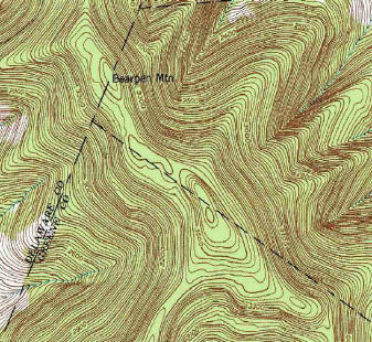
Facing the fact, for the time being, he could not develop the ski area from the valley, Ben toyed with ideas regarding entrance to the trails. , On the summit ridge, he designed a two and a half mile link. This would meet with a pre-existing road running over the mountain from the Little Westkill Road to Vega. Out of Johnson's Hollow, he also designed a southwestern approach which became the first clearing to the summit. 
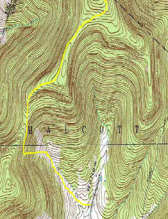
In the month left before school began, Ben and Bob Johnson completed a pass the width of a small vehicle.

CONTINUE